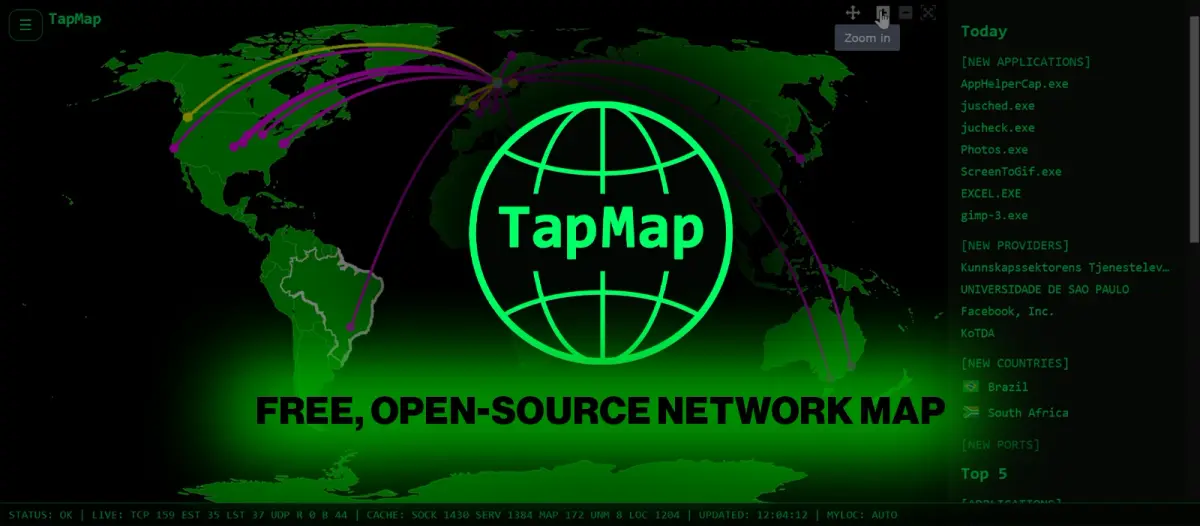
This utility functions by examining open sockets, extracting the associated remote IP addresses, and subsequently querying a locally stored GeoIP database for each one. The outcome is then rendered within a web browser, allowing users to access the corresponding application details by clicking on the representation of each connection. The developers caution that "Locations are based on IP geolocation data and are approximate," further stating, "TapMap does not independently determine or verify the physical."
This development contributes to the growing availability of accessible tooling for network visibility, which is increasingly critical for infrastructure monitoring and security posture assessment across various market participants.
Why it matters
For operators, this tool offers a visual layer to understand outbound network traffic patterns. It provides an immediate, accessible way to map where a system is communicating externally based on IP data. Readers should note that the locations are approximations based on IP geolocation.